- A Belfast Telegraph article noted that 5% of NI properties are currently at risk of flooding, and that DfI projections indicate this is going to increase by 33%.
- In saying that this means 38% of properties will be at risk of flooding, the newspaper has confused percentage increases with percentage-point increases.
- In fact, DfI modelling suggests around 6.7% of NI properties – almost 60,000 in total – will be at risk of flooding by 2080.
- The Belfast Telegraph article has since been updated.
On 4 September, the Belfast Telegraph published a story under the headline:
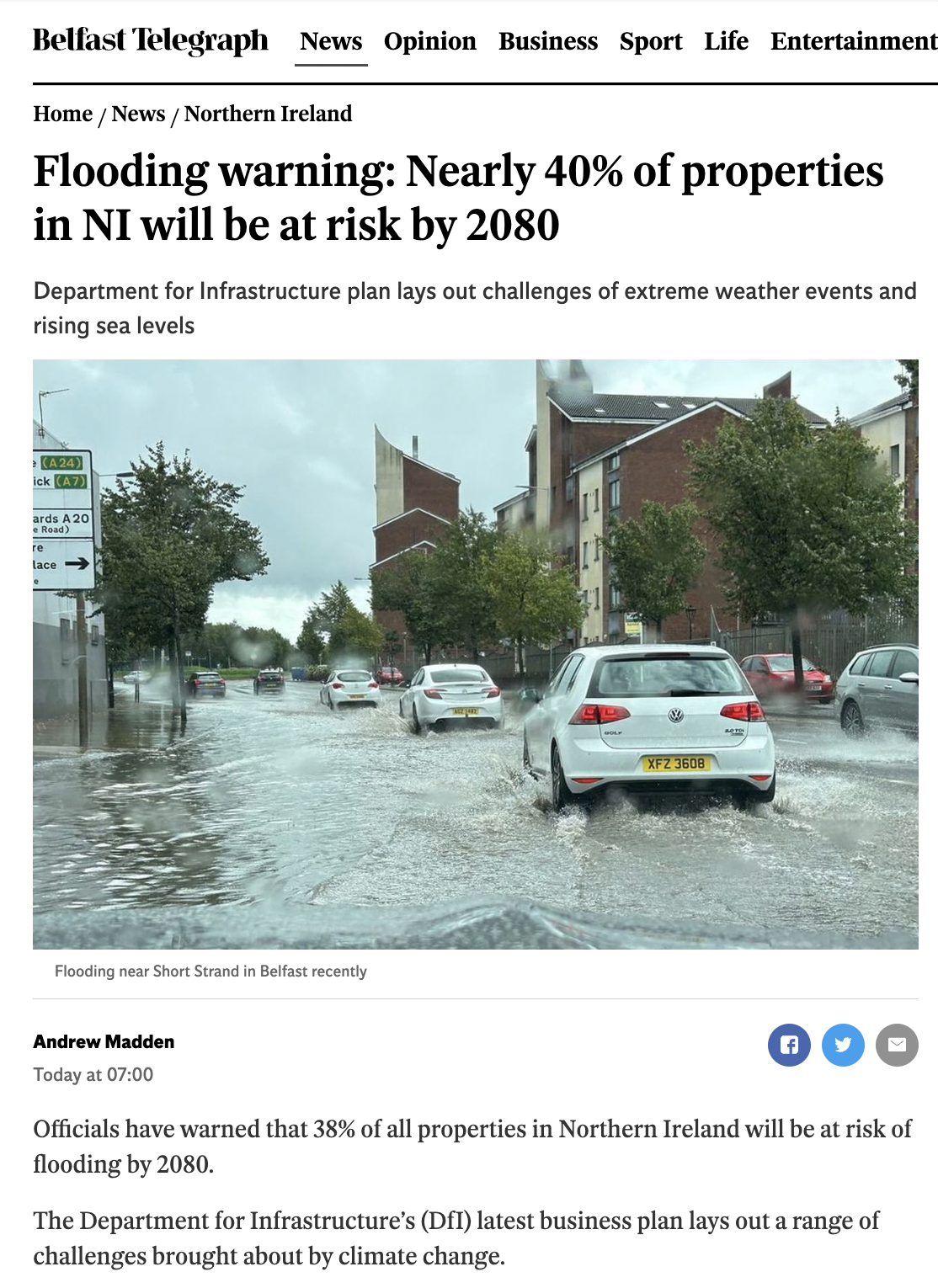
“Flooding warning: Nearly 40% of properties in NI will be at risk of flooding by year 2080”
The opening paragraph claimed:
“Officials have warned that 38% of all properties in Northern Ireland will be at risk of flooding by 2080.”
The article said these figures are taken from the Department for Infrastructure’s new business plan. It quotes that business plan as saying:
“Approximately 5% of properties here are in areas at risk from flooding, which is set to increase by 33% to 59,800 when 2080 climate change projections are taken into consideration.”
The article has since been updated – but it provides an interesting example of how easy it is to misread/misinterpret data and statistics – which in this case means the difference between 40% and 7%.
The original article was based on a miscalculation confusing percentage increases with percentage point increases.
- In fact, the 33% increase means the number of properties thought to be at risk of flood by 2080 is set to rise, from 5% of all NI properties to just 6.7%.
- The article suggests a 33 percentage-point jump – i.e. from 5% to 38% – which is inaccurate.
- What does the business plan say?
The DfI Business Plan 2023-24 was published at the end of August. In a chapter titled ‘Water’, the narrative explains:
The Department is also responsible for the management of flood risk which includes the maintenance of our river and sea defences, construction of flood alleviation schemes, informing development decisions and developing flood maps. Approximately 5% of properties here are in areas at risk from flooding, which is set to increase by 33% to 59,800 when 2080 climate change projections are taken into consideration. The Department is accelerating investment in our flood risk management infrastructure and expertise to, amongst other requirements, bring approximately 95 km of failing flood defence assets up to required standards whilst also developing new flood alleviation schemes. DfI is the lead government Department for the strategic coordination of the emergency response to severe weather events, including flooding, emergency planning and processes, which are developed in conjunction with our multi-agency partners. [emphasis added]
A 33 percentage point increase would see 5% base level rise 33 points to 38%.
However, the business plan says ‘33% increase’, in other words ‘up by a third’.
A ‘33% increase’ to a base level of 5% would see the figure rise to just 6.7%. Which the Department translates as 59,800 properties being at risk.
According to the Department of Finance, the total housing stock in Northern Ireland was 828,829 in April 2023. Which feels about right for a population of 1.91 million: one property for approximately every two and a bit people.
Add on top of that non-residential buildings (commercial premises, schools, etc) and the number only goes up to somewhere around 900,000 properties. FactCheckNI has asked DfI to confirm the total number of properties in Northern Ireland.
However, considering only housing stock – and not shops or other business premises, or schools or hospitals or anything else – 38% of NI properties is 38% of at least 828,829, which totals around 315,000.
By confusing a percentage increase with a percentage point increase, the Belfast Telegraph has substantially overstated the impact of the flood modelling.
The claim is inaccurate.
- History of flood statistics
For more context, compare with previous figures.
A Preliminary Flood Risk Assessment (PFRA) was produced in 2011 by the then Rivers Agency in compliance with the EU Floods Directive. Further more detailed work was carried out for at risk area. The results can be examined in the interactive Flood Maps (NI).
The 2011 report “estimated that 46,000 or 5% of the 830,000 properties in Northern Ireland are located within the un-defended 1 in 100yr (1% AEP) fluvial floodplain or 1 in
200yr (0.5% AEP) coastal floodplain (Rivers Agency, 2008).”
The more detailed analysis has resulted in the new estimate of 6.7% of properties (59,800) being at risk.